
(Nantucket) Guide to Nantucket. J. H. Robinson, 1948. $195.00
Guide to Nantucket
This fascinating book is divided into chapters based upon “Points of Interest” including Nantucket Island, Town of Nantucket, History of Nantucket, Nantucket Whale Fishery, Whaling Museum, Historical Association – Museum, The Old Mill, Oldest House, Public Library, Kenneth Taylor Galleries, Nantucket Yacht Club, Cliff – North Shore, Brant Point, Cliff Bathing Beaches, Pacific Club, Wannacomet Water Works, North Vestry and Congregational Church, Unitarian Church -South Tower, Coffin School, Maria Mitchell Birthplace, Jail and House of Corrections, Tom Nevers Head, Siasconset, Sankaty Head Lighthouse, Quidnet, Polpis, Wauwinet, Great Point Lighthouse, Maddaket, Soldiers’ and Sailors’ Monument, Cemeteries, and Books Relating to Nantucket. The book contains over one hundred photographs and many advertisements for businesses and service. The information contained in this book has remained of interest throughout the years so there have been modern printings of it but why not have the original 1948 edition?
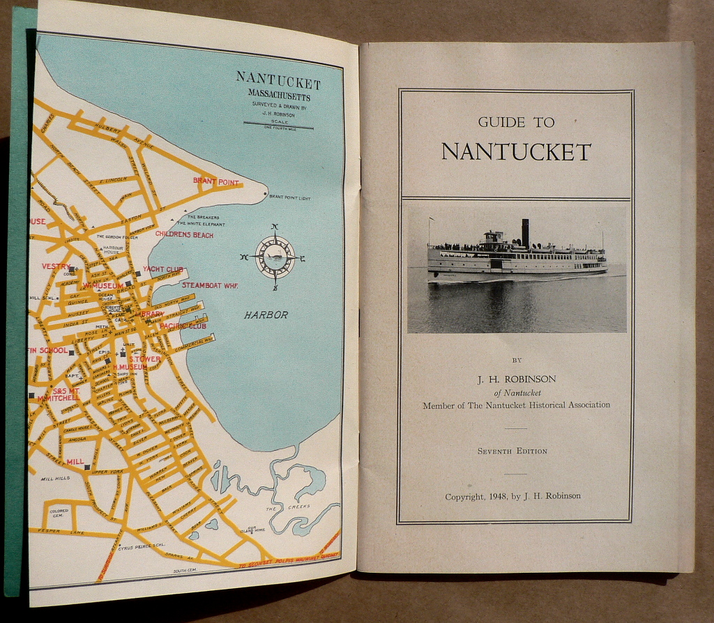
The book contains 3 wonderful maps. The first is a large scale double-page plan of Nantucket Harbor and Nantucket town and the surrounding area. There is also a decorative map of “Nantucket County Massachusetts” with a scale providing “Distance to the Horizon” and a full page inset of “Siasconset.” The last page is a double page map of the “Steamboat Route, Lighthouses and Lightships.”
Mint condition.

or click to inquire about this print.