Antique Property Maps
Showing 55–63 of 93 results
-
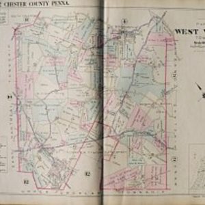
(West Vincent) Plate 3. Philadelphia: Franklin Surveys, 1934
$225.00 -
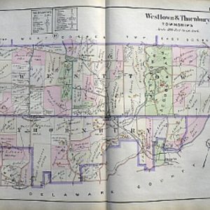
(Westtown & Thornbury) Plate 23. Phila: A.H. Mueller, 1912
$325.00 -
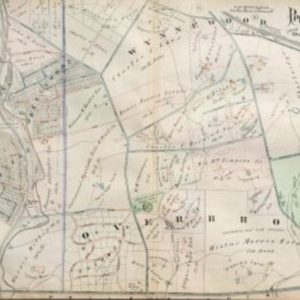
(Wynnewood) A.H. Mueller. Plate 2. Atlas from …Overbrook to Paoli… Philadelphia, 1913
$295.00 -
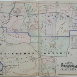
A. H. Mueller. (Radnor Township, Bryn Mawr) Plate 21. Atlas from …Overbrook to Paoli… Philadelphia, 1913
$295.00 -
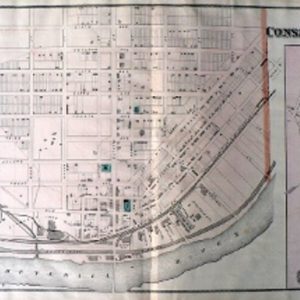
Conshohoken. Philadelphia: Scott, 1877
$225.00 -

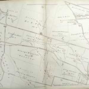
Douglass. Historical Atlas…Philadelphia: Scott, 1877
$95.00 -

G.M. Hopkins. (Bryn Mawr, Haverford) Pl. 9 Atlas of Bryn Mawr and Vicinity…Pennsylvania R.R. Philadelphia, 1881
$250.00 -
G.M. Hopkins. (Bryn Mawr) Pl. 13 Atlas of Bryn Mawr and Vicinity…Pennsylvania R.R. Philadelphia, 1881
$225.00 -
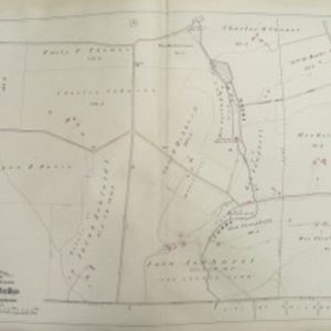
G.M. Hopkins. (Cobbs Creek and Mills) Pl. 3 Atlas of Bryn Mawr and Vicinity…Pennsylvania R.R. Philadelphia, 1881
$175.00