Property Maps
Showing 19–27 of 98 results
-
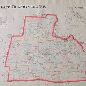
(East Brandywine Township) Breous Farm Atlas. Philadelphia 1883
$195.00 -
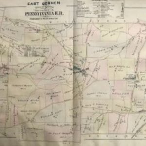
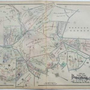
(East Goshen) Mueller. Atlas… From Rosemont to West Chester, 1897
$295.00 -
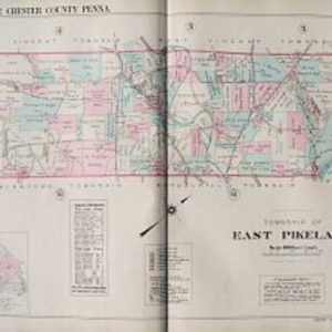
(East Pikeland) Plate 1. Philadelphia: Franklin Surveys, 1934
$225.00 -
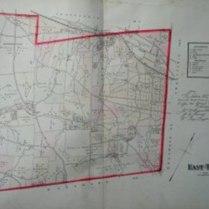
(East Town, Chester County) Breous Farm Atlas. Philadelphia 1883
$195.00 -
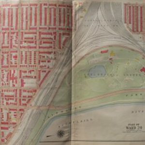
(Girard Ave and The Zoo) Philadelphia: G.W. Bromley, 1918
$275.00 -
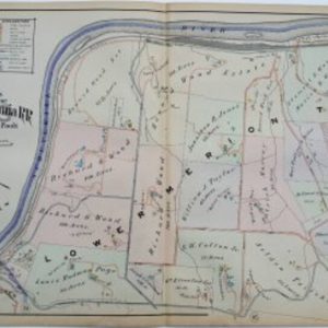
(Gladwyne) A.H. Mueller. Plate 18. Atlas from…Overbrook to Paoli…Philadelphia, 1913
$295.00 -
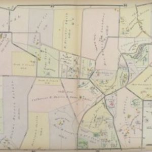
(Haverford and Gladwyne) A.H. Mueller. Pl. 13 Atlas from …Overbrook to Paoli… Philadelphia, 1908
$325.00 -
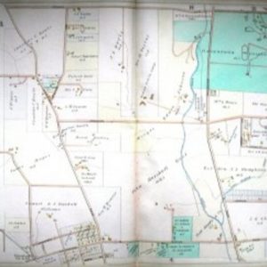
(Haverford and Haverford College) J.L.Smith. …Overbrook to Malvern Station. Philadelphia, 1900
$225.00 -
(Haverford and Wynnewood) A.H. Mueller. Plate 9. Atlas from …Overbrook to Paoli… Philadelphia, 1913
$295.00