
(Southern California) Chicago: George Cram, ca. 1890. $135.00
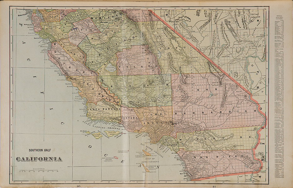
"Southern Half California"
A large scale and detailed original antique map showing the southern half of California extending from San Francisco in the north to San Diego in the south, including San Mateo and Half Moon Bay Santa Cruz, Monterey, Santa Barbara, Los Angeles, Santa Ana, etc. and great detail of the islands in the Santa Barbara and Santa Cruz channels, San Nicholas Island, San Pedro Channel and San Clemente. Railroad lines, roads and a great deal of topographical detail are shown.
14 x 22 1/4 inches, sheet.
Colored lithograph.
Excellent condition.
or click to inquire about this print.