
(New York, Pennsylvania, New Jersey, Delaware, Virginia, North Carolina) Philadelphia, S.A, Mitchell, 1852. $110.00
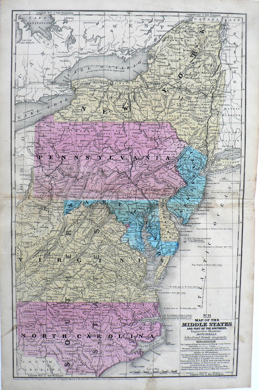
"Map of the Middle States and Part of the Southern"
An attractive map by one of the best American mapmakers of the 19th century. The map includes information concerning populations. length of rivers, and their navigable portions. There are also interesting historical notations including the site of the First English Colony in America, engraved sailing ships and distances from some American ports to those overseas.
18 1/2 x 11 3/4 inches, sheet
Hand colored engraving.
Nice condition and color save some evidence of handling on the right side.
or click to inquire about this print.