
Massachusetts, Rhode Island) Chicago: George Cram, ca. 1890. $105.00
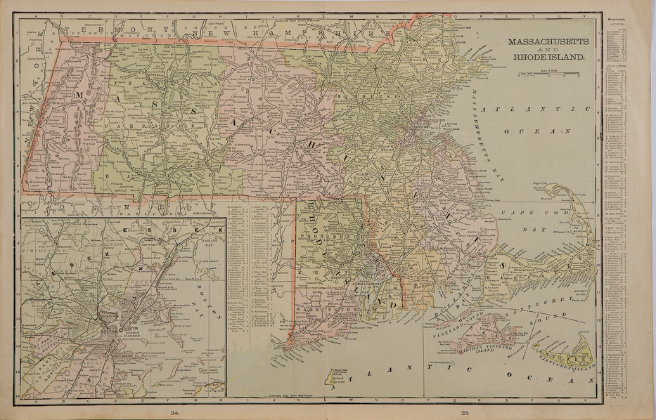
"Massachusetts and Rhode Island"
A detailed large scale original antique map showing Fisher's Island and Block Island in the south, Cape Cod, Martha's Vineyard and Nantucket Island to the east and the New Hampshire border to the north. There is an inset of Boston and the surrounding areas.
14 x 22 inches, sheet
Colored lithograph.
Excellent condition.
or click to inquire about this print.