
(United States) Philadelphia: O.W. Gray, 1877. $295.00
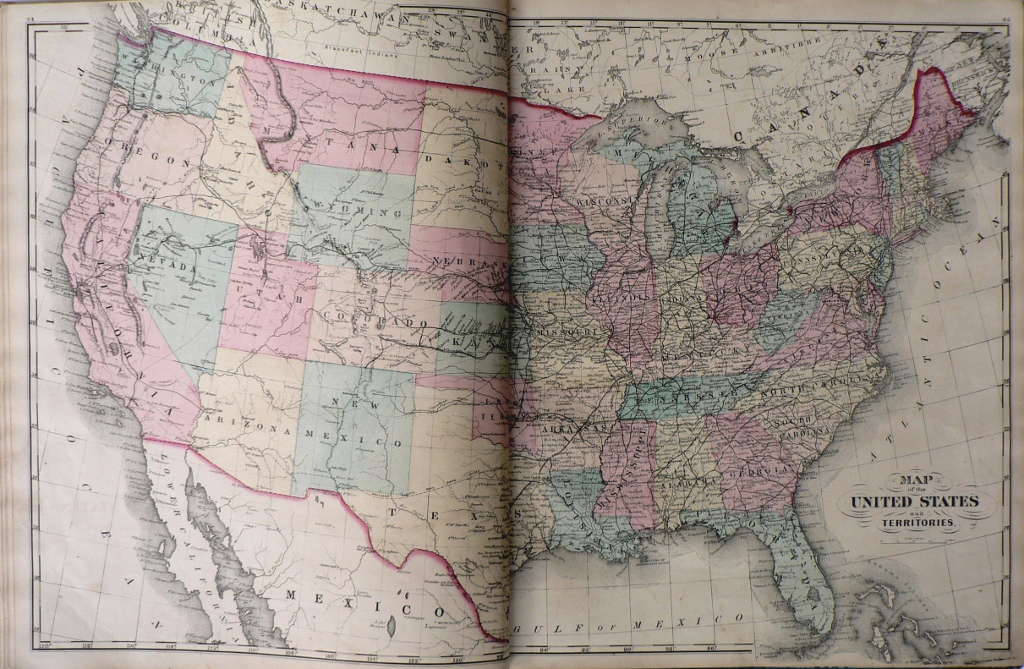 "Map of the United States and Territories"
A decorative 1877 map of the United States including parts of Mexic, "Lower California", and the Bahama Islands in the south and Canada in the north with good information on railroad lines, scholas along ahe coasts, territories of Indian tribes, forts, trading posts and types of animals inhabiting some of the areas.
17 x 26 inches, sheet.
Hand colored lithograph.
Excellent condition.
or click to inquire about this print.