
(England and Wales) Philips Map of England and Wales... London, c. 1850. $225.00
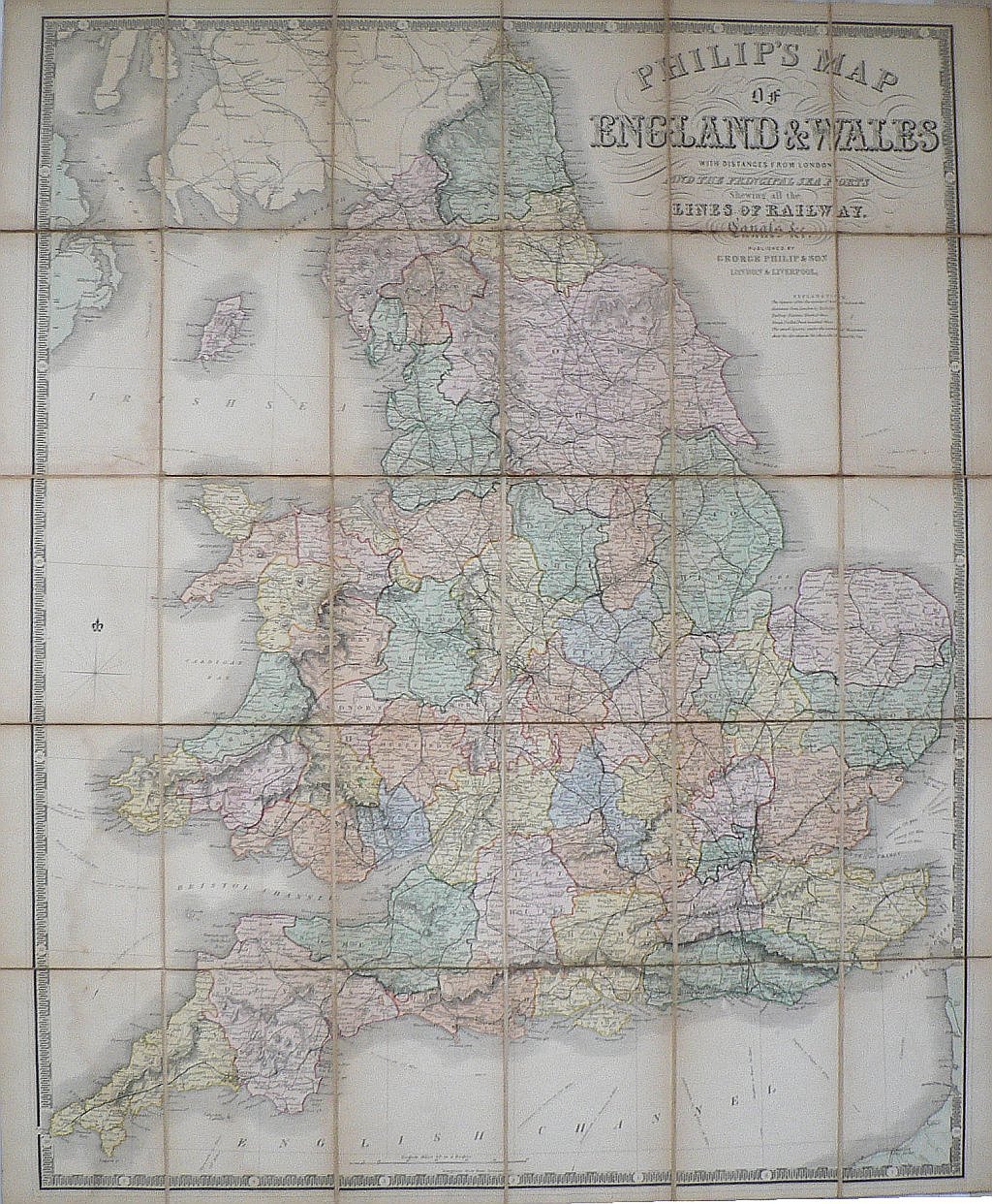
Philip’s Map of England and Wales…
Liverpool and London: George Philip & Son, c. 1850.
A large scale extraordinarily detailed map of England and Wales from a series of large dissected maps created by a father and son team of publishers in Liverpool and London. The finely engraved maps were backed on linen so that they could be easily folded without damage. As the extended title makes clear, they served as a ready reference for calculating “the distances from London and the principal sea ports showing the lines of Railway, Canals, Etc.”
31 ½ x 26 ¼ inches, overall.
Hand colored engraving backed with linen.
Good condition with browning along section edges as expected.
Complete with gold tooled and stamped boards. Cover detached and somewhat scuffed.
or click to inquire about this print.