
(St. Kitts) Jacques Nicholas Bellin. Le Petit Atlas Maritime. Paris, 1764. $300.00
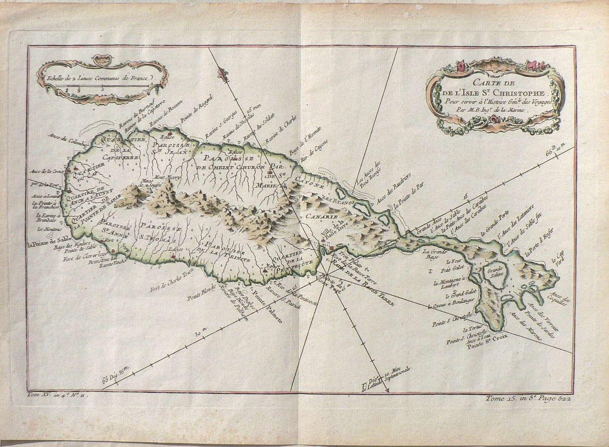
“Carte de de L’Isle St. Christophe pour server a L’Histoire Gen.l des Voyages.”
Nicholas Bellin (1703-1772) the map and chart maker to the King of France, created this beautiful large scale antique map depicting the island of St. Kitts in the West Indies. The map provides clear detail of the parishes, towns, rivers, ports, harbors and topographical details. It appeared in Bellin’s Le Petit Atlas Maritime.
9 ¾ x 13 2/4 inches, sheet.
Engraving with hand coloring.
Excellent condition.
or click to inquire about this print.