
(West Indies) H.C. Carey & Isaac Lea. Philadelphia 1822. $550.00
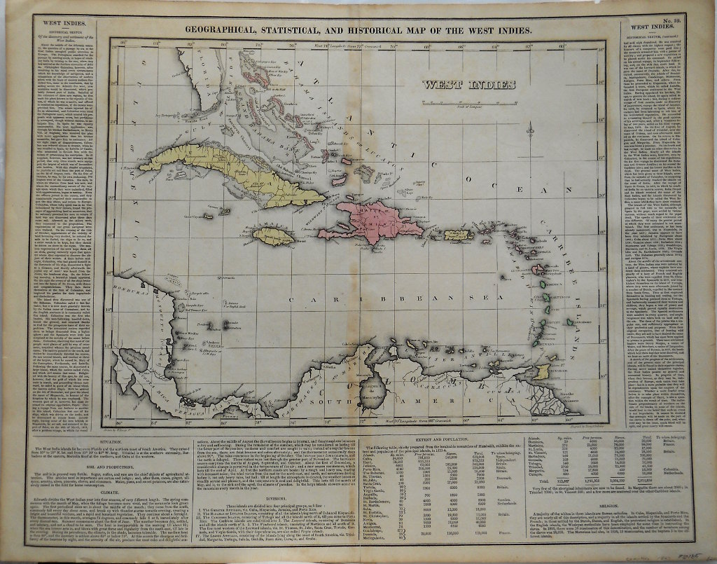
"Geographical, Statistical and Historical Map of the West Indies"
Wonderful large format map of the West Indies/Caribbean from Henry Charles Carey and Isaac Lea's important American Atlas published in Philadelphia in 1822. These "Carey and Lea" maps as they are known, are highly prized not only for their comprehensive cartographical information, but for the text that brackets each map offering detailed description of each state, territory, or area. The atlas was so popular that it was issued in six editions in English, French and German between 1822 and 1827. A wonderful map with a some discoloration from the glues used in the binding process along the centerfold. This is typical of these maps.
Copperplate engraving with full original hand color.
20 1/2 x 16 1/2 inches sheet size.
Very good condition.
or click to inquire about this print.