
South America. New York: Johnson and Ward, ca. 1860. $250.00
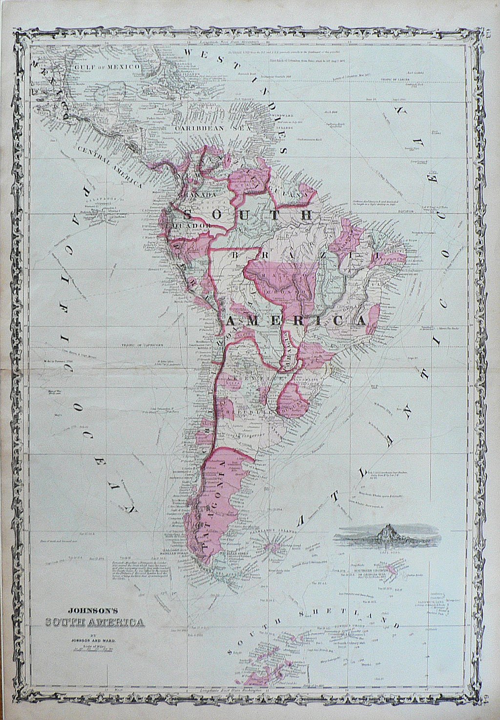
“Johnson’s South America.”
A large, wonderfully detailed map of South America including the South Shetlands, Falkland’s Islands, Southern Georgia, Central America, the West Indies, south Florida the southern portions of Mexico, and the Galapagos Islands.
This map provides a fascinating record of important voyages of discovery in the area from the “first Track of Columbus” to tracking the route of the US ship Vincennes in 1838, including the routes taken by Ferdinand Magellan in 1520, Dr. Halley in 1700, Byron in 1764, Bougainville in 1768, Wallis in 1767, Colnett in 1794, Carteret in 1767, Anson in 1740 and La Pelouse in 1786.
Includes an inset pictorial depiction of Cape Horn and observations such as “many birds, whales, sperm, and finbacks,” “piece of wood and sea weed seen.”
26 ½ x 18 inches, sheet.
Hand colored lithograph.
Excellent condition save unobtrusive light discoloration along centerfold.
or click to inquire about this print.