
(Ardmore and Wynnewood) A.H. Mueller. Plate 10. Atlas from ...Overbrook to Paoli... Philadelphia, 1913. $295.00
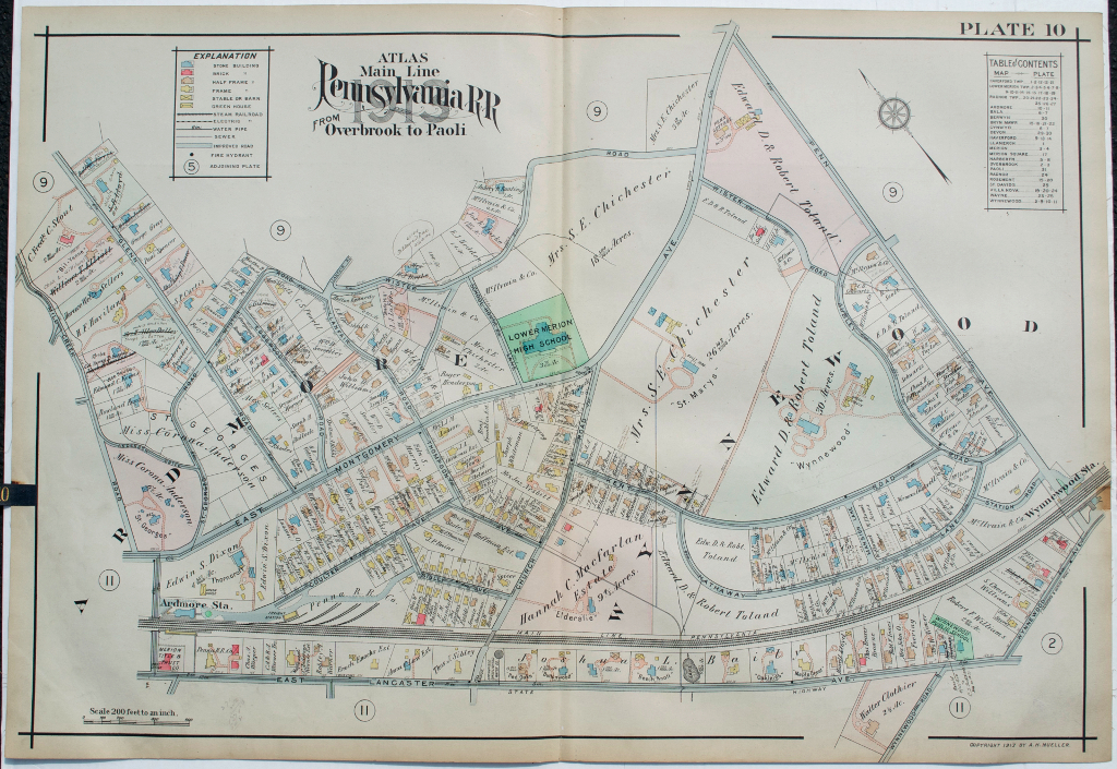
Plate 10. Ardmore and Wynnewood, St. George's and St. Mary's estates
We have a large selection of large scale maps of properties (residential, commercial, and institutional) that extended along the tracks of the Pennsylvania Railroad between City Line at Overbrook and Paoli to the west. The maps contain fascinating information about property owners, types of buildings on the properties with frame, brick, barns, stables, green houses all shown, sewer lines, steam railways, electric railroads and “macadamized” roads. This map was included in a particularly beautifully colored atlas.
22 x 31 ½ inches, overall.
Hand colored lithograph.
Excellent condition.
or click to inquire about this print.