
(West Point) John Tallis. Illustrated Atlas of the World. London 1850-1. $95.00
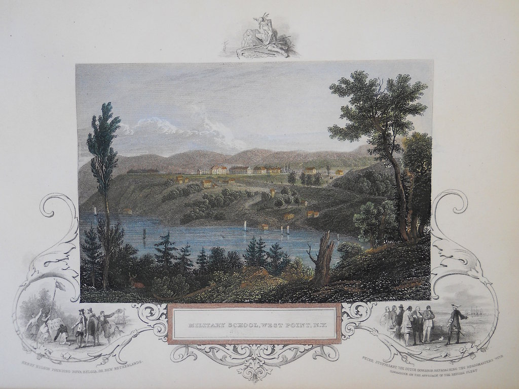
"Military School of West Point"
A finely engraved view of West Point Academy by John Tallis (English 1817-1876) a publisher of mid 19th century maps of the world. His maps always included decorative engraved borders and charming inset illustrations detailing an aspect of the area, and are collected for these traits.
Hand colored steel engraving.
8 1/2 x 10 1/2 inches sheet.
Crisp impression. Excellent condition.
or click to inquire about this print.