
(New England) Die Gros-Britannische… German, ca. 1746.$350.00
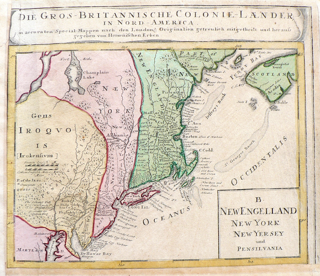
“Die Gros-Brittanische Colonie-Laender In Nord America”
This depiction of New England and part of what is now known as Nova Scotia is based upon an important 1729 map by Herman Moll known as the “Post Map”, created to show the routes of the American colonies’ centralized early postal system. Apparently, the information was still valuable when this map was published in 1746. While it does not include Moll’s detailed text describing the route and stops of the postal routes it includes much interesting geographical information – New Jersey is divided into East New Jersey and West New Jersey, Delaware is conjoined with Pennsylvania, and Lake Champlain has a distinctly archaic shape. Town and villages, Indian territories and shoals are also shown.
10 x 12 inch, sheet.
Very old repairs and additions to margins.
Nicely preserved original color.
or click to inquire about this print.