(World) Washington: S.A. Augustus Mitchell, 1877. $295.00

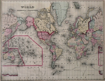
"Map of the WORLD on the Mercator Projection, Exhibiting the American Contitnet as its Centre"
An attractive world map engraved and colored by W. Williams in Philadelphia. Includes the routes of explorers including Captain Cook, Captain Clarke, Captain Gore, Dr. Kanes, Captain Ross, and shows the location of the Atlantic Cable and the French Cable in the Atlantic Ocean.
17 x 26 inches, sheet.
Hand colored lithograph.
Excellent condition.
or click to inquire about this print.
